Surface Water Quality Trend Analysis in the Regional District of Nanaimo: “The research confirmed the importance of intact riparian corridors and undisturbed forested lands to stream health in the Nanaimo region,” stated the report authors
![]()
Community Watershed Monitoring Network
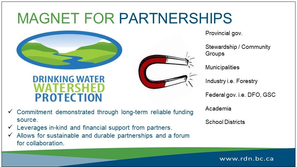
Started in 2011, the Community Watershed Monitoring Network is a partnership between the Regional District of Nanaimo (RDN) and its Drinking Water and Watershed Protection (DWWP) program, the Ministry of the Environment, Island Timberlands LP, and many community watershed stewardship groups in our region.
The RDN provides the equipment and works with the Ministry to complete annual training and data analysis. The Ministry contributes expertise in water quality testing, deciphering gathered data and guidance in program direction.
Island Timberlands sponsors the lab analysis costs for Quality Assurance and Quality Control, loans volunteers’ safety gear and provides access to the upper watersheds.
Dedicated community groups donate their time, attending annual training sessions, calibrating equipment and getting out on their local streams to collect water quality data.
Program Overview
The long-term goal of the Community Watershed Monitoring Network program is to identify trends in water quality to assist in regional land use planning and restoration decisions.
The program consists of annual sampling in both the summer low period (August-September) and the fall flush period (October-November). Sampling of dissolved oxygen, temperature, turbidity and specific conductivity has been conducted at 73 sites; as of 2018 there are 62 active sites.
34 of the active sites had a sufficient (at least six years) set of data to be included in this trend analysis.
The sampling is done by trained volunteers from 13 stewardship groups. The partnerships efforts have resulted in an excellent database that supported this analysis, according to Julie Pisani, the RDN’s DWWP Coordinator.
Surface Water Quality Trend Analysis
For the years 2011-2017, statistical modelling of water quality in the summer and fall sampling periods indicated that land use types associated with human disturbance were important predictors of dissolved oxygen, temperature, turbidity and specific conductivity:
- When watersheds were <60 percent forested, changes in turbidity and conductivity were apparent.
- Watersheds with <20% agricultural use generally have higher turbidity and lower dissolved oxygen.
- Watershed with paved road densities >0.002m/m2 were associated with increased conductivity and higher water temperatures.
Increased turbidity levels and depleted dissolved oxygen are likely the result of increased sediment loads due to a lack of riparian vegetation, stream channelization, and nutrient enrichment from agricultural land uses and increased imperviousness in urban areas, stated a trend analysis prepared for the RDN.
Trend Analysis Findings
The majority of sites had stable water quality without frequent exceedances of water quality guidelines or objectives. However some sites of concern were identified and recommendations for action were provided.
The research undertaken for the RDN confirmed the importance of intact riparian corridors and undisturbed forested lands to stream health in the Nanaimo region.
It identified water quality exceedances and that adverse trends in the monitored parameters were rare at the sample sites. None the less, impacts from agriculture, roads and urban residential areas were identified.
To Learn More:
To read the complete report, download a PDF copy of Surface Water Quality Trend Analysis for Regional District of Nanaimo Community Watershed Monitoring Network (2011-2017)