“Water Balance Model” incorporates Tree Canopy Module
Note to Reader:
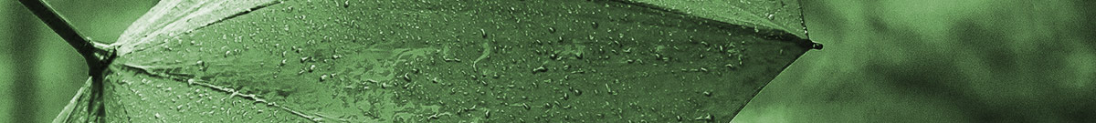
In 2005, the District of North Vancouver initiated a precedent-setting initiative in partnership with the University of British Columbia (UBC). By the beginning of 2007, a network of 60 “tree canopy climate stations” was in place across the North Shore region of Metro Vancouver. The research findings were published in a Master’s thesis dated April 2010. The research has informed development of the Tree Canopy Module in the Water Balance Model.
To download a PDF version of the Announcement, click on Rebuilt Water Balance Model Now Incorporates Tree Canopy Module.
The Goal: Bridge a Knowledge-Gap
When the field research was initiated, Dr. Markus Weiler, former Chair of Forest Hydrology at UBC provided this context: “While considerable research has been undertaken in forest stands in the natural environment, very little has been done in an urban setting anywhere in North America.”
Dr. Weiler postulated that: “In theory, it is highly probable that interception losses of a tree that stands in an urban setting is larger compared to a tree within a forest stand. There may be even an optimum of tree density and structure whereby the interception is largest for a certain tree density. If this density can be determined, or even the relation of tree density to interception loss, local governments could provide urban developers with guidance as to how many trees need to be maintained within a residential lot to maintain a certain interception effect.”
