The Salt Wedge and Delta’s Agricultural Water Supply

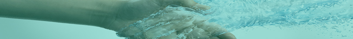
Illustrative example of a salt wedge phenomenon
Salt Wedge Changes with Tides and Seasons
“The ‘salt wedge’ is a phenomenon that occurs in all tidal estuaries of the world. Salty and dense ocean water entering the river mouth forms an underlying wedge beneath  the lighter fresh water that is exiting. Water that is high in salinity (salt levels) can reduce or destroy crop yields, affect aquatic ecosystems and damage infrastructure,” wrote John Ter Borg in an article published in the Delta Farmer’s Institute Newsletter. The article is about his research findings for the Master of Land and Water Systems program at the University of BC.
“The distance that the salt wedge extends up the river changes with the tides and the seasons. During the spring snowmelt the river is high and the toe of the wedge stays near Steveston. During the late summer river flows are low and the salt wedge reaches Annacis Island. The elevated salinity levels impact the quantity of water available to local agriculture irrigation intakes.”
To Learn More:
To download and read the complete article as published (on page 3) in the Delta Farmer’s Institute Newsletter published in October 2014, click on The Salt Wedge and Delta’s Agricultural Water Supply.
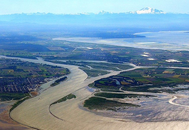
Lower Fraser River: View of Steveston, Ladner, Canoe Pass, and Mt. Baker (Rees, 2007)